Trail
Babele – Vârful Omu
The route from Cabana Babele to Omu Peak (2514 m) is the classic Bucegi plateau hike: a gentle traverse across the alpine meadows to the highest point of the massif. It's a moderate and very accessible route, especially because you can ride the cable car up to Babele from the Prahova Valley — ideal for a day tour without the long climb from below.
The figures are approximate: roughly 2.5 hours, ~8 km and +~520 m of gain. Real time depends on your pace and the weather — in wind and fog, plan for more.
On the trail
You set off from Cabana Babele (~2200 m), next to the cable-car station and the Babele and Sphinx formations, following the red cross marking north.
- Start (Cabana Babele). Pick up the red-cross marking by the cabana. It begins gently, on open plateau — you can admire the Babele and the Sphinx right at the start.
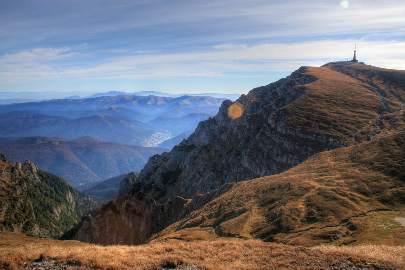
- Crossing the plateau. A rolling path over alpine meadows, with easy ups and downs. Wide scenery, but no shelter — the wind blows almost constantly.
- Mid section. You pass beneath peaks and saddles, holding the northward direction on the red cross. Don't rely on reliable water sources along the way.
- Final climb to Omu. The gradient builds toward the northern ridge, the ground turning rocky and more exposed.
- Omu Peak (2514 m). The highest point in the Bucegi, with the Omu refuge / cabana and a broad panorama over the massif and the surrounding valleys.
From Omu you can descend toward Cabana Peștera, toward Bușteni, or return to Babele. See also the Omu Peak attraction; the area lies within Bucegi Natural Park.
Gear and difficulty
Difficulty is moderate — the route is accessible, but the steady altitude above 2200 m makes it serious in bad weather.
- Mountain boots and a thermal layer; the plateau is cold and windy even in summer.
- Rain shell / hardshell — the weather changes fast.
- Water (1.5–2 l), snacks, sunglasses and UV protection (strong radiation at altitude).
- Map / GPS for fog.
Detail in the gear guide and the Bucegi hiking guide.
Safety
In good weather the route is relaxed and suitable even for less experienced hikers. The hazards come with the weather:
- Fog — on the open plateau you lose direction quickly; follow the red-cross markings and carry navigation tools.
- Lightning — the high plateau is very exposed; in a storm don't set out, and retreat at once.
- Wind and sudden cold — even in summer the temperature can drop sharply.
Retreat option: the big advantage is that you can easily return to Babele and take the cable car down to Bușteni (check the schedule locally and whether it's running — strong wind shuts it down). If the weather turns, head back in time; don't push on to Omu in dense fog. Check the weather and the safety guide.
Emergencies: 112 (Salvamont mountain rescue).
⚠ Indicative trail data. Mountain weather changes fast — check the forecast, markings and conditions before you set off. Tell someone your route.
Trail map
Indicative topographic map (OpenTopoMap) — it shows the terrain and the marked paths. Download the route offline and don't rely on signal on the ridge.
Plan your trip
Everything you need for the mountains
Affiliate content: bookings through these offers may earn us a commission, at no extra cost to you.
Stays in the area
Stays nearby
Compare stays available near this place, on the map.
Accommodation map by Stay22 · indicative prices. Bookings through the map may earn a commission, at no extra cost to you.
Frequently asked questions about the Babele – Vârful Omu trail
How long does the Babele – Vârful Omu trail take?
The stated duration is indicative and depends on your pace, breaks and the weather. Start early and leave enough time to return before dark.
What gear do I need?
Grippy boots, clothing layers, a rain shell, water, food, an offline map/app and a head torch. At altitude, pack a warm layer even in summer.
Is the Babele – Vârful Omu trail safe?
With preparation and good weather, yes. Check the forecast, tell someone your route, turn back if the weather worsens and save the emergency number 112 (mountain rescue). Ridge routes require experience.