Mountain safety is rarely decided on the summit and almost always at home, the evening before the hike: which forecast you read, which route you choose, what you put in your pack, and who you tell where you're going. The Romanian mountains are not hostile, but they are indifferent — they don't adapt to you, you adapt to them. This guide is about the four things that cause most incidents: weather, navigation, poor decisions, and the lack of a plan.
Always start with two checks: the weather at altitude (not just in town) and the road conditions on the access roads. A closed unpaved pass or an icy road changes your hike before you ever set foot on the trail.
How to read a mountain forecast
A valley forecast and a ridge forecast are two different things. At 2,000 metres the temperature is noticeably lower, the wind much stronger, and clouds form differently. A few markers:
- Watch the wind as closely as the temperature. A 60–70 km/h wind on an exposed ridge can knock you off your feet and accelerates hypothermia.
- Look for the probability of lightning and the time it appears — in the Carpathians, in summer, storms usually arrive in the afternoon.
- Read the feels-like temperature (wind chill), not just the "real" one.
- Check the forecast the very morning you leave, not just the night before. Weather changes fast at altitude.
Afternoon storms: the rule of starting early
The best way to avoid a storm on the ridge is to be down before it arrives. That's why experienced hikers set off early and plan to be descending by midday, rather than attacking the summit in the afternoon.
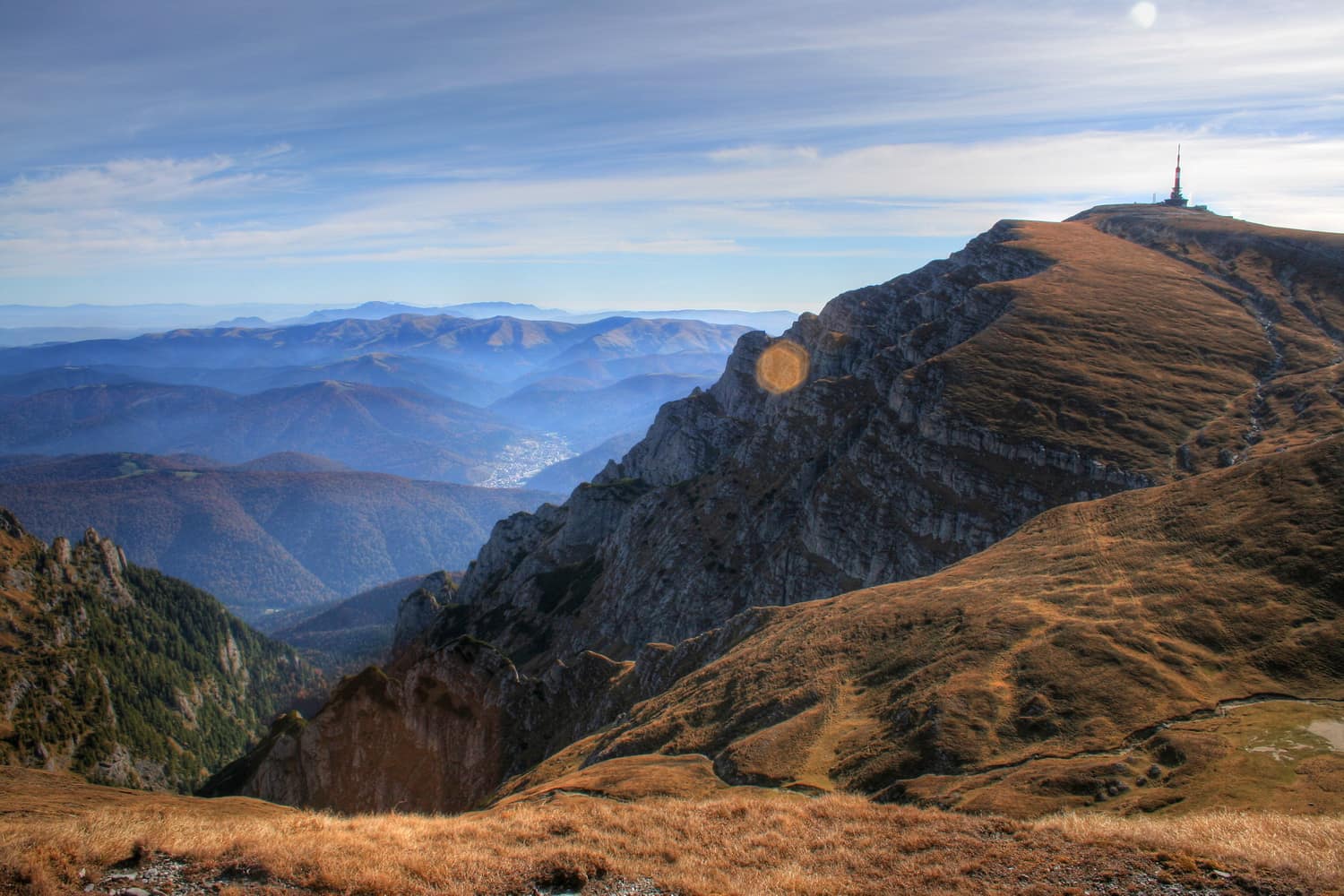
Signs of an imminent storm: cumulus clouds building rapidly upward, a sudden darkening, shifting wind, the first thunder. If you hear thunder, you're already in the risk zone. On the ridge and the summit you are most exposed to lightning — get off the ridgeline, avoid isolated peaks, lone trees, and metal objects. For long ridge hikes, where retreat takes time, see the Făgăraș ridge traverse guide too.
Fog and whiteout: when the trail disappears
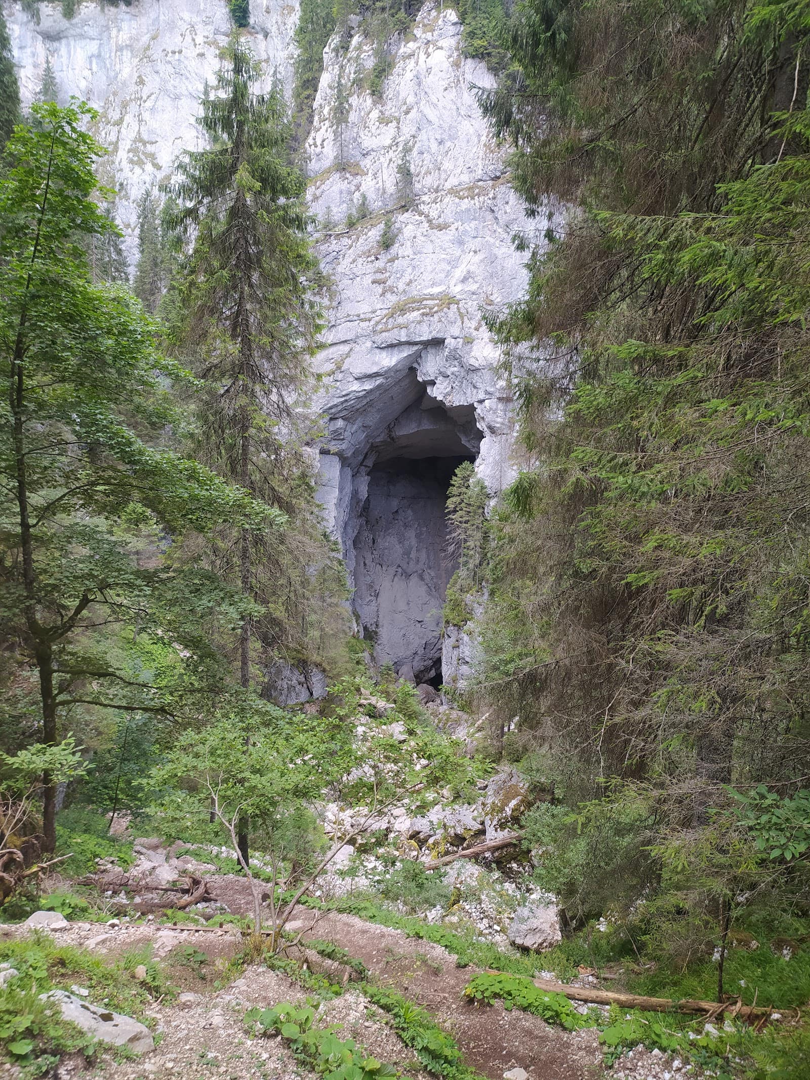
Fog is more dangerous than it looks, because it robs you of the very tool you rely on: sight. Within minutes the markings vanish, the sense of slope is lost, and panic speeds up mistakes. In winter, a "whiteout" (sky and snow merging into a uniform white) makes the terrain impossible to read.
What to do:
- Stop. Don't push on by guesswork — you risk drifting off the path toward a gully or a snow cornice.
- Locate yourself on the offline map / GPS while you still know where you are.
- If you have serious doubts, return along the route you already covered, the one you know.
- Advance only if you can reliably follow the markings, one to the next.
This is where an offline-map app and a compass prove their worth — details on navigation gear in the hiking gear guide.
The hardest decision: turning back
The summit isn't going anywhere. Most experienced hikers say the same thing: the incident began with a decision to continue when they should have turned back — because it was "just a bit further", because they'd paid for the trip, because they were ashamed to quit.
Set a turnaround time in advance: an hour at which, wherever you are, you head back. Honour it. Turning back on time is not a failure; it's what separates a missed hike from a hike that ends badly.
Avalanche basics (winter)
Winter changes the risk calculation completely. Avalanches happen on steep slopes (typically 30–45 degrees), and the danger is not always visible from below. Romania has a warning system rating avalanche risk on the European 1-to-5 scale — consult it before any winter trip in alpine terrain.
- If you lack specific winter training, avoid steep snow-loaded slopes and choose gentle valley routes or broad ridges.
- Winter gear (crampons, ice axe) requires the skill to use it too.
- The safest step for a beginner who wants the mountains in winter: a trip with a guide or an experienced mountain club. See also the beginner options in the ski guide for beginners if you prefer a groomed slope.
Mountain rescue, 112 and the Salvamont app
In an emergency, the number is 112. Ask for the Salvamont rescue service and report calmly: what happened, how many people, their condition, and — crucially — where you are as precisely as possible (route, landmark, altitude, coordinates if your phone shows them).
Install the Salvamont app in advance: it lets you send your GPS position directly to the rescue teams, which dramatically shortens the time to locate you. Download it and learn how it works at home, not in a crisis. Remember that mountain rescue can take hours — the better you convey your position, the faster they arrive.
If you get lost
The internationally established rule is easy to remember through the acronym STOP:
- Stop — halt; don't compound the mistake by wandering at random.
- Think — when did you last see a reliable marking?
- Observe — study the map, the terrain, the direction.
- Plan — make a plan: either return along the known route, or, if it's evening / bad weather and you're unsure, stay put, shelter, and call 112.
Staying put, visible, with your survival blanket on, is often safer than descending in the dark through unknown terrain. And this is exactly why it matters so much that you told someone your route and return time — if you don't show up, someone raises the alarm.
In short, before every hike
- Check the weather at altitude and the road conditions
- Choose a route matched to your group, not to your ambition
- Correct gear: layers, shell, headlamp, kit, blanket (see the gear guide)
- Offline map downloaded + Salvamont app installed
- Tell someone your route and approximate return time
- Set a turnaround time and honour it