Trail
Padiș – Cetățile Ponorului
The route from Cabana Padiș to Cetățile Ponorului leads to the most spectacular karst system in the Apuseni: a vast sinkhole with three portals and a chasm into which a stream plunges. It is a moderate effort on the way out, but beware — the profile is inverted: you descend into the doline on the way there and climb back out on the return, when you are already tired.
Figures are approximate: roughly 2.5 hours one way, ~6 km, +~300 m (mostly on the return), waymarked with a blue triangle. The actual descent into the chasm, down to the portals, is only for experienced and equipped hikers.
On the trail
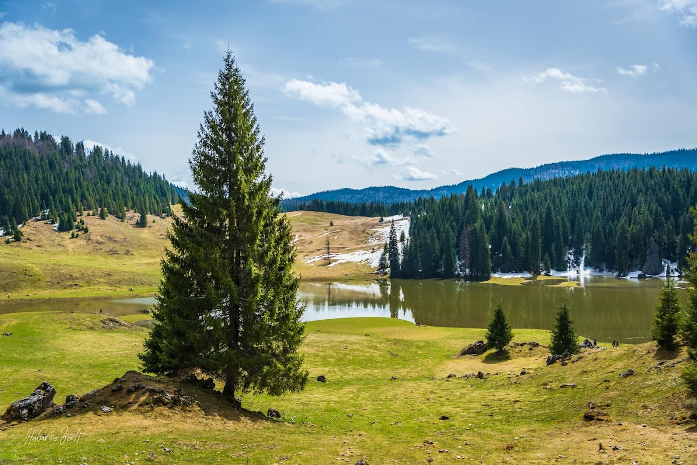
You set off from Cabana Padiș (~1280 m), the marking hub of the Padiș plateau, following the blue triangle through forest and clearings.
- Start (Cabana Padiș). Pick up the blue triangle. A gentle start at first, across meadows and spruce forest — typical karst-plateau scenery.
- Through the forest to the viewpoint. The path rises and falls gently, then enters dense forest. It is usually cool and damp here — slippery roots and stones.
- The Cetăți viewpoint. A point from which you see the scale of the doline and the portals from above — the safest place to admire it for those who do not descend.
- The descent into the doline. From the viewpoint the steep descent begins, on wooden stairs and carved steps, down to the floor of the doline. Caution: very slippery when wet.
- Cetățile Ponorului. Below you reach the huge portals and the chasm where the Cetăților stream disappears. Spectacular and cold; entering the cave itself requires caving gear and experience.
On the return you climb back to the viewpoint and back to Padiș. You can combine it with other sights in the Apuseni or with a visit to Scărișoara Cave. See also the Apuseni blog and the route to the Scărișoara Glacier.
Equipment and difficulty
Difficulty is moderate, but the descent into and climb out of the doline is the hard part — effort and care on the steps.
- Mountain boots with good grip (the stairs and steps are slippery when wet).
- Thermal layer and a rain shell — the forest and doline are cool even in summer.
- Water (1.5–2 l), snacks; do not count on reliable drinking-water sources.
- Headlamp if you approach the portals and the light is poor; map / GPS for orientation in the forest.
See the equipment guide for details.
Safety
The surface trail is accessible; the real risk is the descent into the doline:
- Slippery steps and stairs — in rain or dew the descent into the chasm becomes dangerous; many hikers stay at the viewpoint, and that is a sound choice.
- The chasm itself — entering the cave, through cold water and vertical passages, is only for equipped caving teams.
- Fog and forest — on the Padiș plateau the markings can be lost; follow the blue triangle carefully.
Retreat option: if the steps are wet or you are tired, stop at the viewpoint and do not descend into the doline — the view from above is impressive anyway. Turn back in good time on the same marking. Check the weather and the safety guide.
Emergencies: 112 (Mountain Rescue / Salvamont).
⚠ Indicative trail data. Mountain weather changes fast — check the forecast, markings and conditions before you set off. Tell someone your route.
Trail map
Indicative topographic map (OpenTopoMap) — it shows the terrain and the marked paths. Download the route offline and don't rely on signal on the ridge.
Plan your trip
Everything you need for the mountains
Affiliate content: bookings through these offers may earn us a commission, at no extra cost to you.
Stays in the area
Stays nearby
Compare stays available near this place, on the map.
Accommodation map by Stay22 · indicative prices. Bookings through the map may earn a commission, at no extra cost to you.
Frequently asked questions about the Padiș – Cetățile Ponorului trail
How long does the Padiș – Cetățile Ponorului trail take?
The stated duration is indicative and depends on your pace, breaks and the weather. Start early and leave enough time to return before dark.
What gear do I need?
Grippy boots, clothing layers, a rain shell, water, food, an offline map/app and a head torch. At altitude, pack a warm layer even in summer.
Is the Padiș – Cetățile Ponorului trail safe?
With preparation and good weather, yes. Check the forecast, tell someone your route, turn back if the weather worsens and save the emergency number 112 (mountain rescue). Ridge routes require experience.