The Transalpina (DN67C) is Romania's highest road, a route that crosses the Parâng Mountains and climbs, over the Urdele Pass, to above 2,100 metres. This guide to the Transalpina walks you through the route from Novaci toward Rânca, Urdele, Obârșia Lotrului and on to Sebeș — when the high section is open, the scenery you'll see, and how to combine it with the Transfăgărășan in a full alpine loop.
Unlike the Transfăgărășan, which slices through the Făgăraș with tight hairpins and concentrated sights, the Transalpina is a ridge road: long, open, with wide views over the alpine plateaus of the Parâng. Many people find it quieter and more "airy" — the road runs above the valleys rather than between them.
Transalpina (DN67C): the route, south to north
The best-known direction starts in the south, from Novaci (Gorj county), and climbs north toward Sebeș (Alba county). Here are the main landmarks.
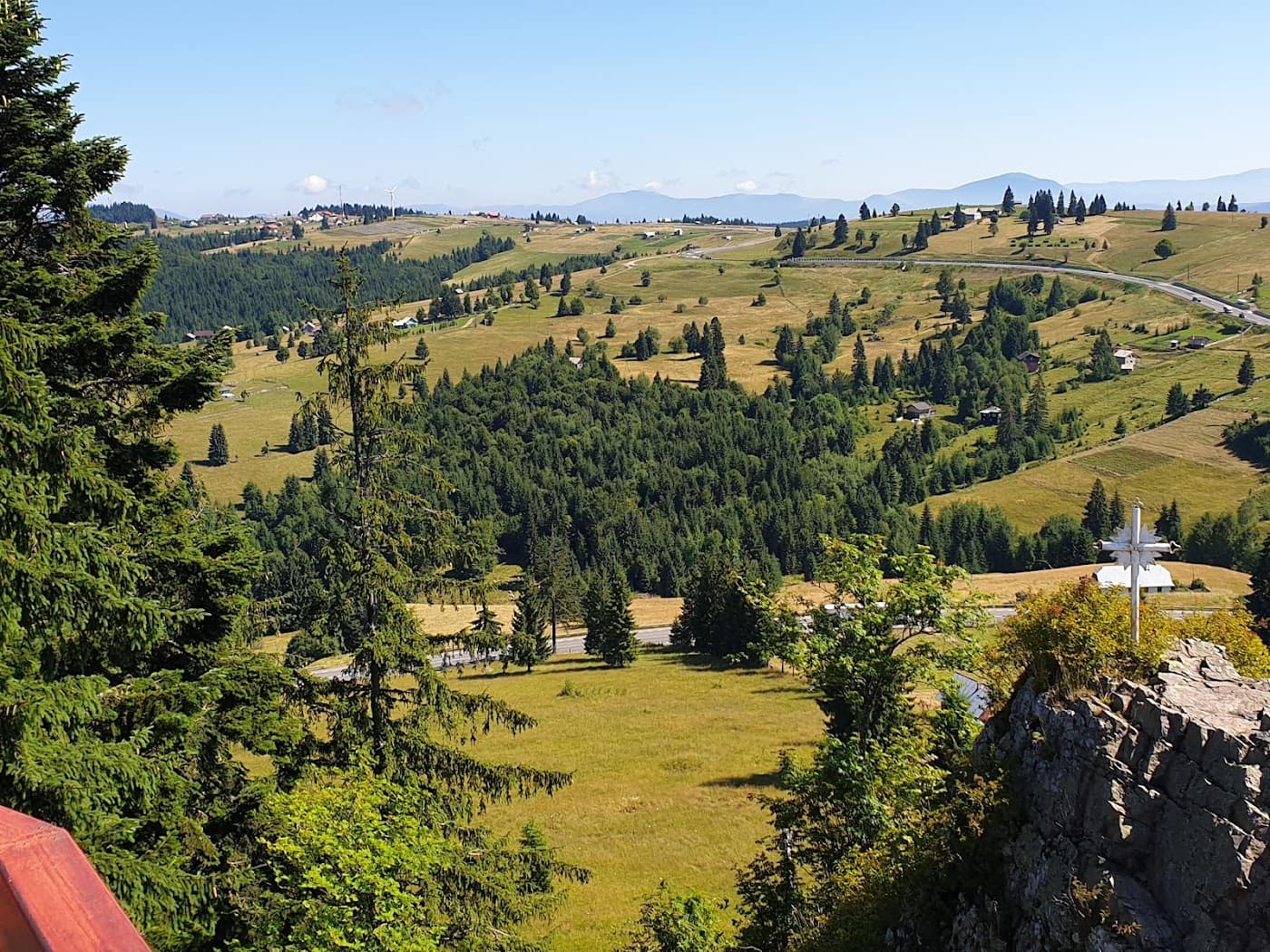
Novaci and the climb to Rânca
Novaci is the southern gateway to the Transalpina. From here the road climbs steadily through dense forest, with gentle hairpins, up to the Rânca resort, set on the flank of the Parâng. Rânca is the most accessible base on the route: lodging, restaurants and, in winter, ski slopes. Many use it as a starting point for hikes or as a place to wait for the high section to open.
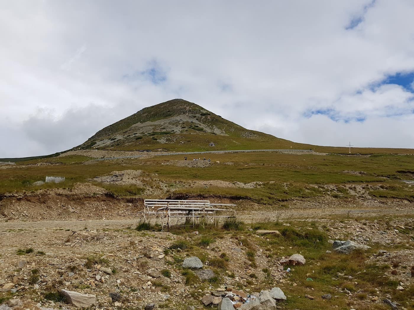
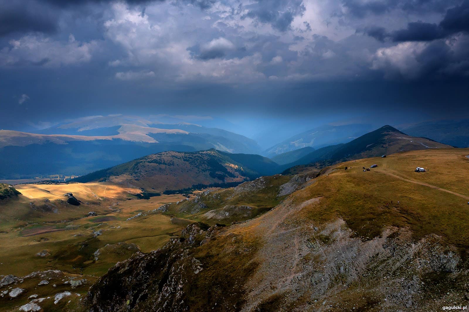
The Urdele Pass — the highest point
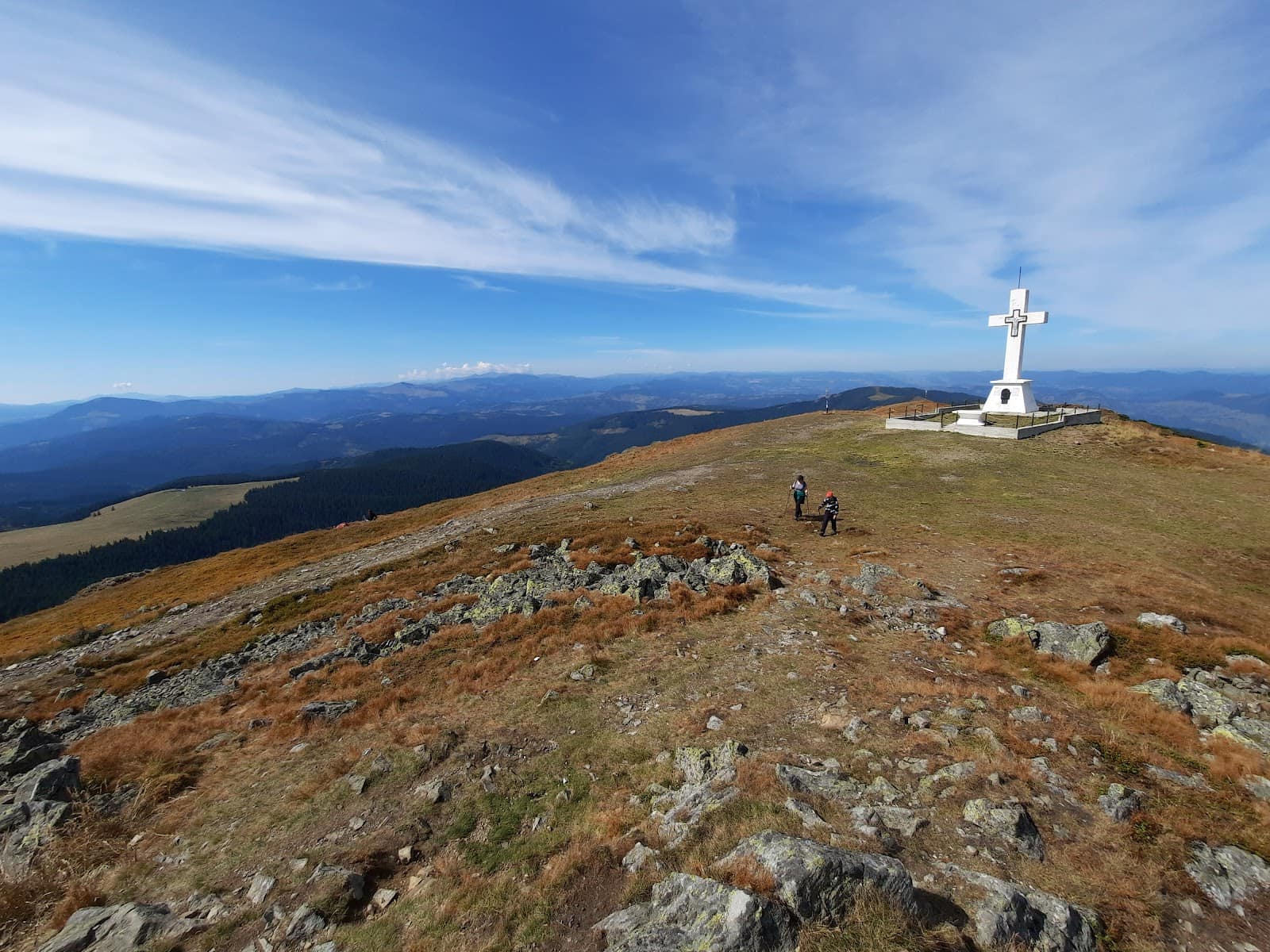
Beyond Rânca, the road leaves the forest and climbs onto the open alpine zone to the Urdele Pass, at roughly 2,145 metres — the highest point of the Transalpina and one of the highest road points in the country. Here the landscape turns spectacular: alpine meadows, rock, flocks of sheep and views opening in every direction. This is where it's most worth stopping, in the laid-out pullouts, for photos and to breathe the high-altitude air.
Obârșia Lotrului
Descending north, the road reaches Obârșia Lotrului, an important junction of mountain roads where several valleys meet. From here you can branch toward the Voineasa – Vidra – Lotru area and the Transalpina – Vidra ski domain. Obârșia Lotrului is a logistics hub: a place to take a break, eat or sleep before carrying on.
On to Sebeș
From Obârșia Lotrului, DN67C continues north, through forest and past reservoirs, before descending toward Sebeș, in Alba. This northern stretch is less spectacular than the open alpine zone at Urdele, but it completes the full Transalpina route.
When the high section is open
As with the Transfăgărășan, the catch is the high section. The high-altitude part of the Transalpina, over the Urdele Pass, opens approximately from June and closes around late October. The ends of the road — the Novaci–Rânca area in the south and the Sebeș side in the north — stay drivable longer, but the actual crossing over Urdele is what closes in winter due to snow.
The dates are always approximate. A year with a long spring delays the opening; an early October snow closes the pass early. Before leaving, always check the road status and the mountain weather. Up high, above 2,000 metres, the weather changes fast even in summer — fog and wind can arrive within minutes.
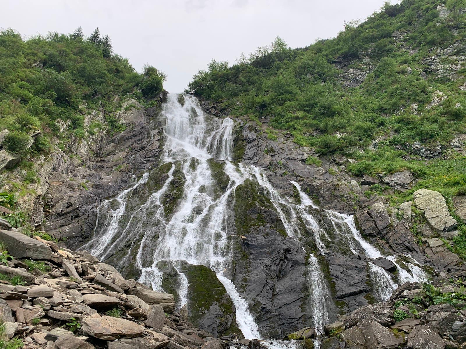
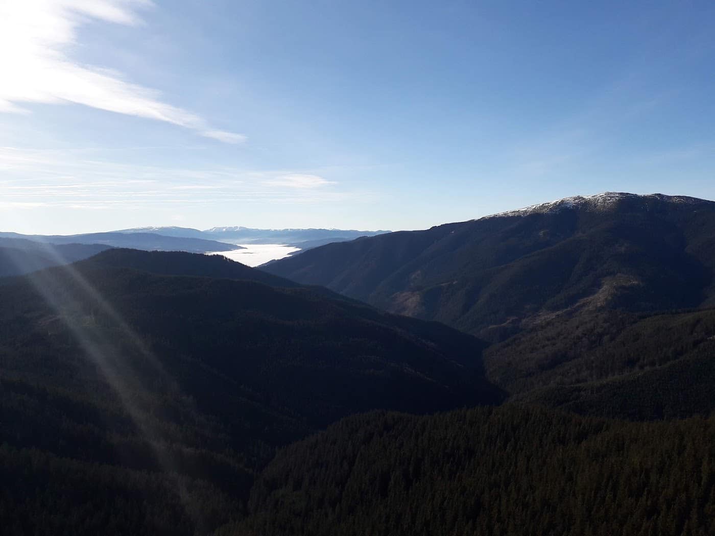
Scenery and what makes the Transalpina different
The charm of the Transalpina lies in its ridge-road character. Unlike the "postcard" hairpins of the Transfăgărășan, here the wide alpine plateaus of the Parâng dominate, with broad horizons and the feeling of driving on the roof of the country.
- The open alpine zone at Urdele: meadows, rock, shepherds' folds and flocks — pastoral landscape at high altitude.
- Relative quiet: generally less crowded than the Transfăgărășan, especially outside weekends.
- The reservoirs on the northern slope, toward the Lotru.
- The light: early morning and late evening, the plateaus take on colours worth catching.
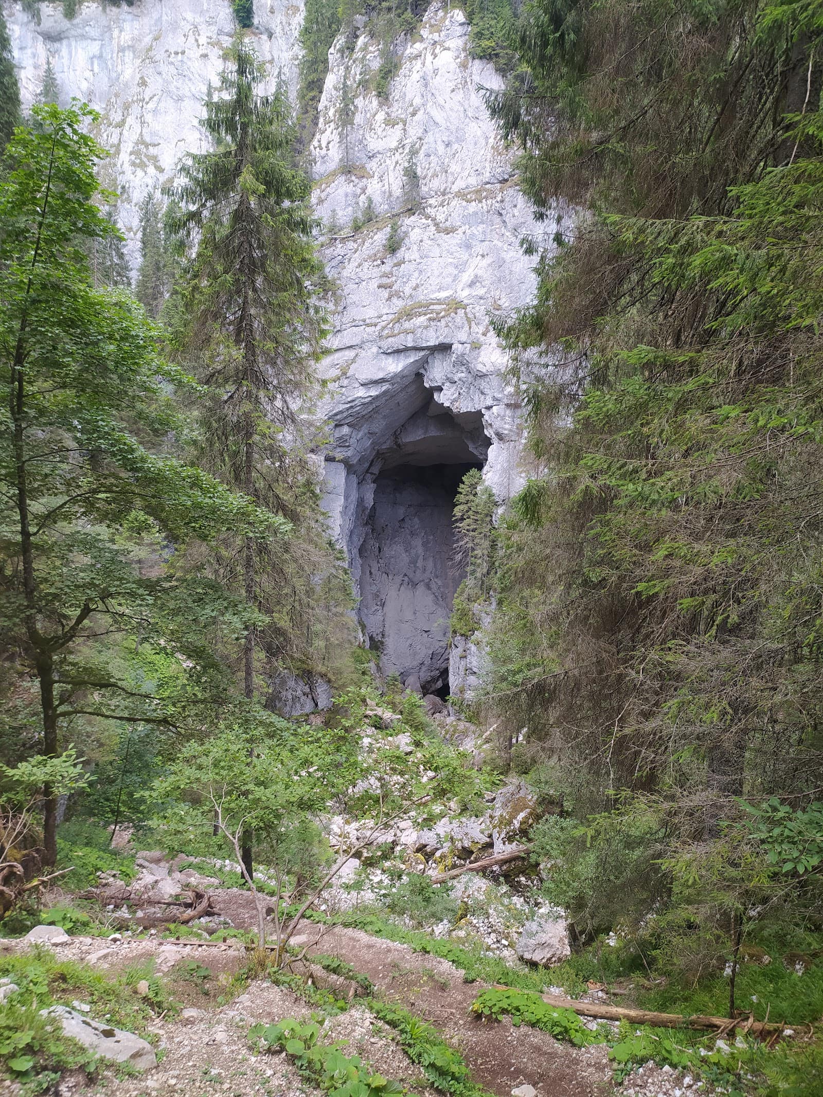
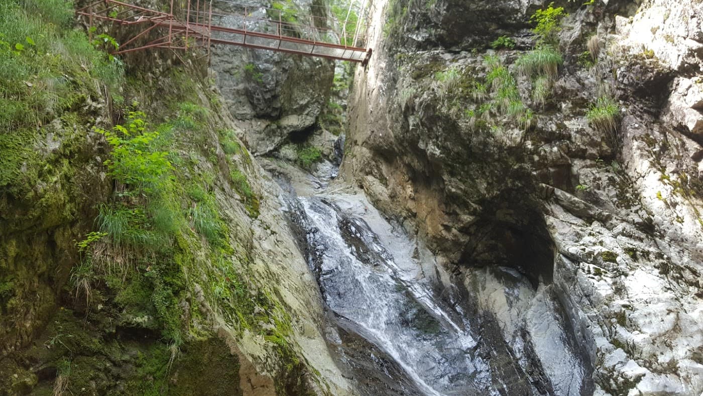
To explore the surrounding mountains, not just the road, read the dedicated page on the Parâng – Rânca – Transalpina zone, with trails, attractions and lodging. See also the Transalpina attraction page for landmarks on the map.
Rânca: the resort on the route
Rânca is the only proper resort on the Transalpina and, in practice, your logistics base. In summer, it's a launch point for hikes in the Parâng and a good place to overnight before tackling the high section early in the morning. In winter, when the pass is closed, Rânca works as a ski resort reachable from Novaci — see the details on the Rânca page.
If you want to ski higher and with more variety, the Transalpina – Vidra domain, reachable from Obârșia Lotrului / Voineasa, is a substantial alternative, with slopes at high altitude.
How to combine the Transalpina with the Transfăgărășan
Romania's two great alpine roads sit relatively close together and can be linked into a single memorable loop. A classic option: drive the Transfăgărășan (DN7C) one day, descend into the Argeș–Vâlcea area, then climb the Transalpina (DN67C) another day, from Novaci or from Obârșia Lotrului. The Voineasa – Vidra – Lotru area makes a natural link between them.
The differences that matter when choosing the order and pace: - The Transfăgărășan is visually more dramatic and busier; give it a day with an early start. - The Transalpina is longer and quieter; allow time for stops on the plateaus. - Both depend on the season — check that each high section is open beforehand.
For a detailed head-to-head, read Transfăgărășan vs Transalpina. For an overview of all the country's scenic roads, see the guide to scenic roads in Romania.
Practical driving tips
- Start early. The high section is loveliest in the morning, before the fog rises.
- Fill up in Novaci or Sebeș. There are no petrol stations in the alpine zone.
- Use engine braking on the long descent, in both directions.
- Watch for animals on the road: sheep, sheepdogs, cattle. Slow down near shepherds' folds.
- Keep warm clothing handy — the temperature difference from the valley is large.
- Don't rely on constant phone signal; download the map offline.
- Re-check the weather on the very morning you set out.
Prepare as you would for any high-altitude outing: read mountain hiking gear and safety and weather in the mountains.
Frequently asked questions
How high is the highest point of the Transalpina?
The highest point is the Urdele Pass, at roughly 2,145 metres. That makes the Transalpina (DN67C) Romania's highest road. You feel the altitude: the weather is harsher and more changeable than in the valley.
When does the Transalpina open?
The high-altitude section over the Urdele Pass opens approximately from June and closes around late October, depending on the snow. The ends stay drivable longer. Check officially on the road status page before you set out.
Is it easier to drive than the Transfăgărășan?
Generally yes: the hairpins are gentler and the road is wider and more open on the plateaus. It remains a high-altitude road, however, with long descents and animals on the carriageway, so it demands attention and a car in good shape.
Where can I sleep along the route?
The best base is Rânca, on the southern slope, with lodging and restaurants. Obârșia Lotrului also offers options. Use the accommodation and guesthouses pages to book in the area.
Can I do both the Transalpina and the Transfăgărășan in one trip?
Yes, and it's an excellent idea. They link well into a multi-day loop through the Voineasa – Vidra – Lotru area. Set aside a day for each road and check that both high sections are open beforehand.