The Transfăgărășan is not just a road but an alpine traverse that climbs from the Făgăraș lowlands almost to the spine of the mountains, above 2,000 metres, then drops south past the Vidraru dam. This complete guide tells you when the Transfăgărășan is open, what you see along the way, where to stop and how to drive DN7C safely — so you don't end up stuck at a closed barrier or trapped by fog at Bâlea.
First, the context. The Transfăgărășan links the village of Cârțișoara (Sibiu county, the northern slope) with the Vidraru–Curtea de Argeș area (the southern slope), cutting through the Făgăraș Mountains almost down the middle. The lower stretches at each end stay drivable for most of the year. The catch is always the alpine section — those few kilometres between Bâlea Cascadă, the tunnel and the southern descent — which closes in winter because of snow and avalanche risk.
The Transfăgărășan: when the alpine section is open
The rule to remember: the alpine section of the Transfăgărășan opens approximately in late June / early July and closes around late October. There is no fixed date — it depends on how fast the spring snow melts and on the first serious autumn snowfall. Some years it opened only in July; others it closed early after an October snow.
That's why you should always check officially before you set out. Use our road status page and check the mountain weather for the day. Even if the barrier is open, dense fog, sleet or black ice can turn the hairpins into a nightmare. Don't rely on a social-media post from two weeks ago; conditions change day to day.
A few practical notes on access: - The barrier at each end of the alpine section usually closes overnight, even in peak season. Plan to cross in daylight. - Summer weekends pack out the Bâlea Lac area — leave early if you want a parking spot. - In the shoulder months (June, October), the alpine section can close temporarily overnight at the first frost, even when the day is clear.
What you see along the way, north to south
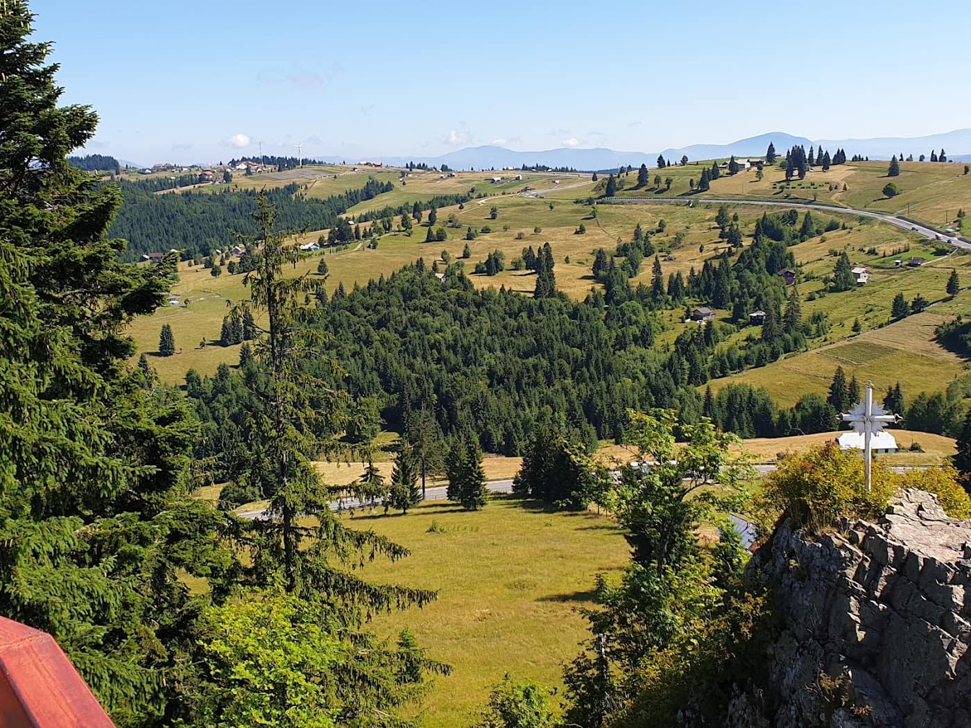
Most people drive up from Cârțișoara, because this is where the hairpin spectacle is most dramatic. Here is what you shouldn't miss.
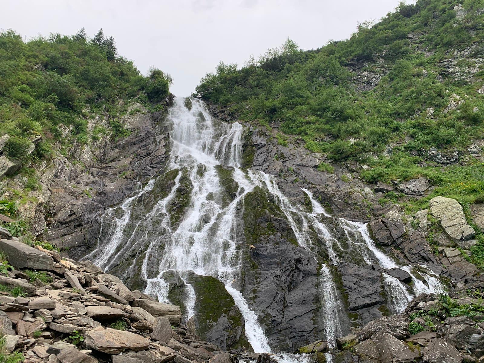
Bâlea Waterfall
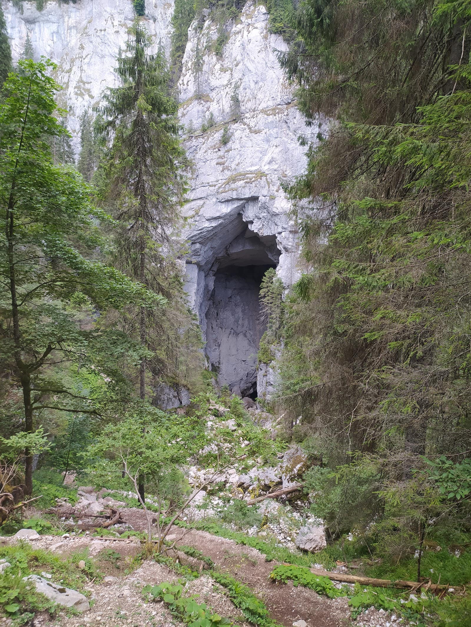
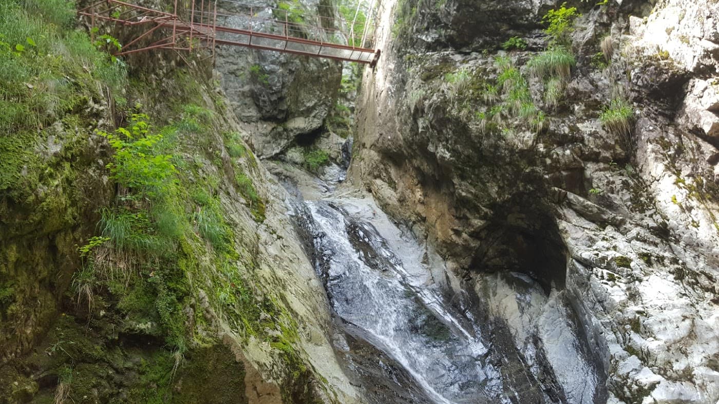
Before reaching the lake at the top, you pass Bâlea Waterfall — one of the largest falls in the Făgăraș. A cable car also runs from here up to Bâlea Lac, a useful alternative in winter when the upper road is closed. The waterfall is a natural stop: a car park, a few terraces, and the trailhead many hikers use for routes up to the ridge.
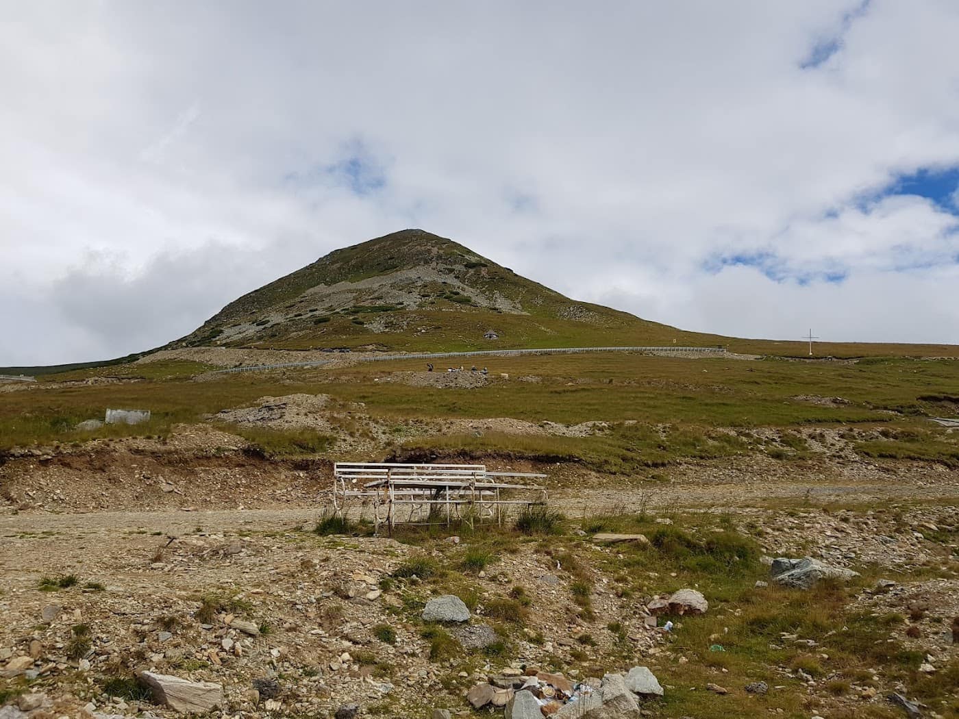
Bâlea Lac
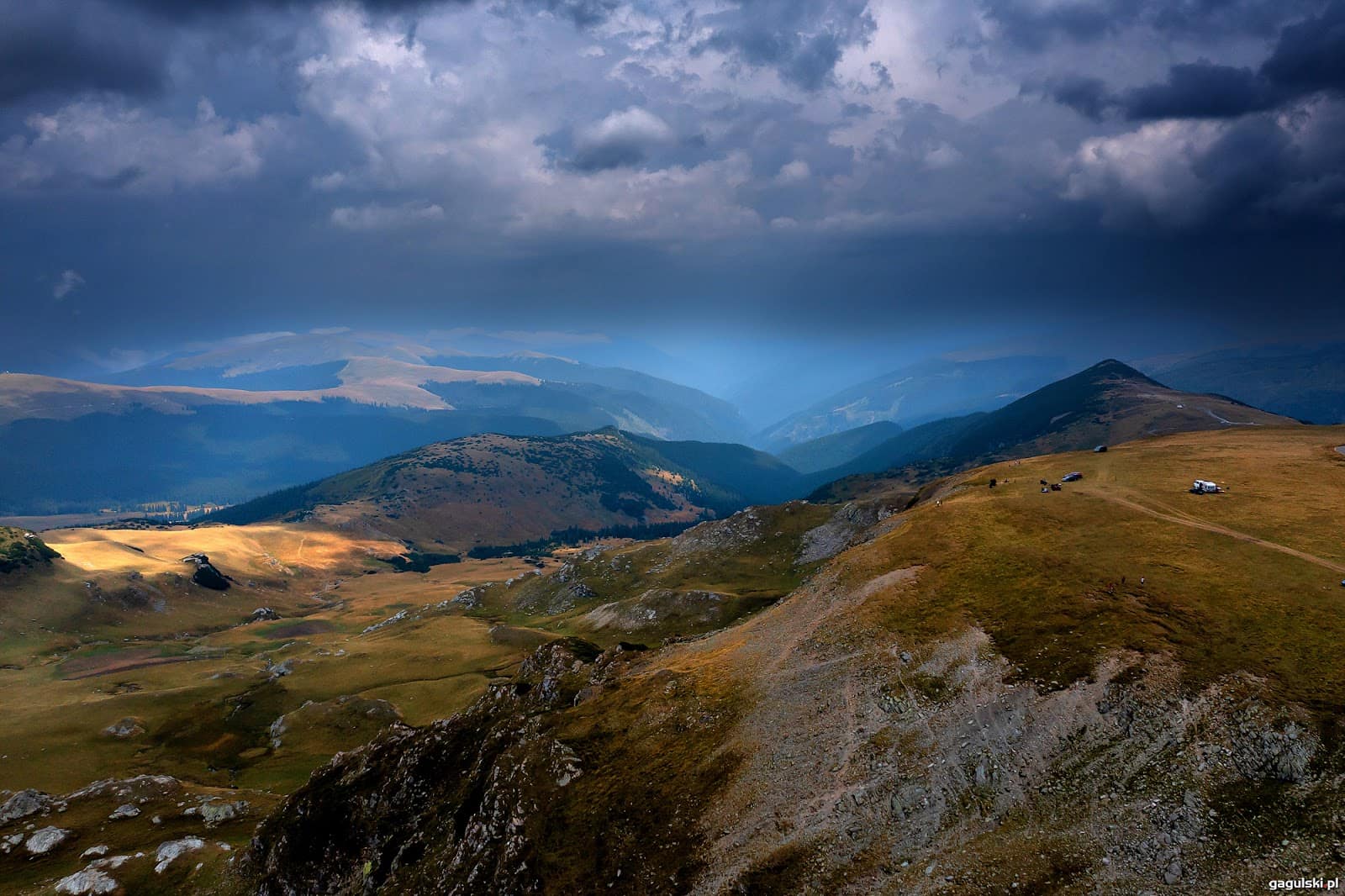
The star of the route. Lake Bâlea is a glacial lake set in a spectacular cirque above 2,000 metres. This is where the climb from the northern slope ends and the tunnel toward the south begins. In summer the shores are crowded with tourists, chalets and stalls; it's also a departure point for hikes to major Făgăraș peaks. If you want quiet, come at first light or outside the weekend.
The tunnel
At the highest point of the driving route, the road enters a long tunnel bored beneath the ridge — the highest road tunnel in Romania. It's narrow, dimly lit and often cold and damp; switch on your headlights, slow down and don't stop inside. On the southern side, the landscape changes abruptly.
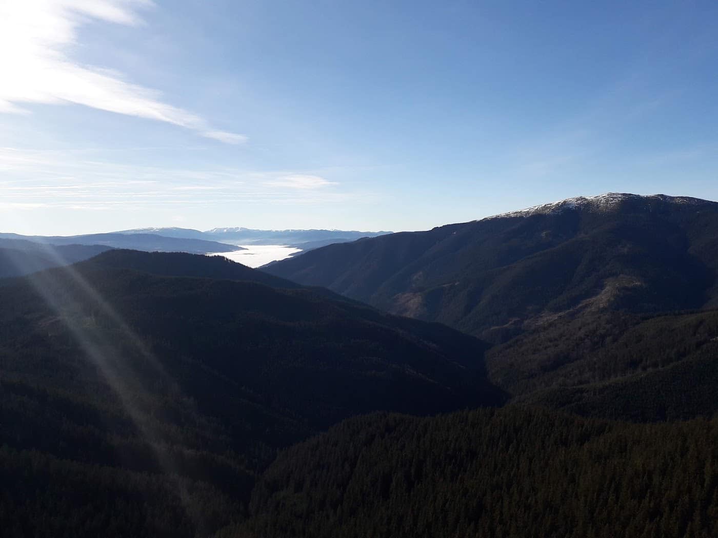
The southern descent and Lake Vidraru
On the southern slope the road descends at length past streams and forests to Lake Vidraru, a reservoir created by the dam of the same name. The Vidraru dam was long among the tallest in the country and remains an impressive stop: views over the green-blue water, the Electricity ("Prometheus") statue, and a range of activities around the lake. From here the road continues, more gently, toward Curtea de Argeș.
Stops worth making
- Bâlea Waterfall for photos and as a trailhead.
- Bâlea Lac for the glacial-cirque view and a hot soup at the chalet.
- The viewpoints along the northern hairpins — a few small pullouts where you can see the ribbon of tarmac unfurling below you.
- The Vidraru dam and lake on the southern slope.
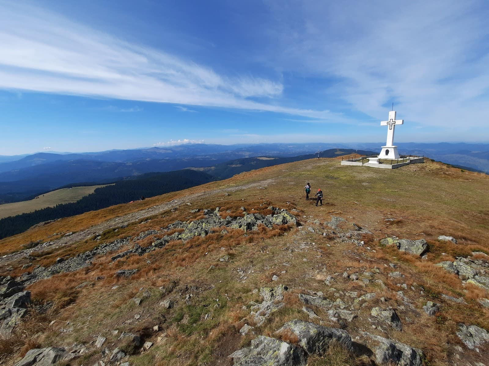
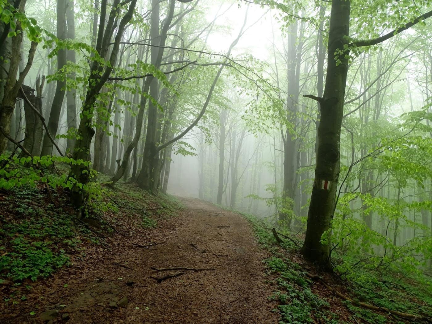
- For hikers: the marked trails climbing from the Bâlea area to the main ridge — see our guide to traversing the Făgăraș Ridge.
If you want to explore the whole area, not just the road, read the dedicated page on the Făgăraș – Transfăgărășan zone, with trails, lodging and attractions grouped together.
Driving tips for DN7C
The Transfăgărășan is spectacular but technical. Tight hairpins, slow traffic, cyclists, motorcyclists and tourists crossing on foot demand constant attention.
- Start early. You avoid the crush at Bâlea and have time to cross in daylight.
- Check the car first: brakes, tyres, fuel. There are no petrol stations on the alpine section.
- Use engine braking on the descent, especially the long southern side. Continuous braking overheats the pads.
- Don't stop on the carriageway for photos. Use the car parks and laid-out viewpoints.
- Watch for animals: you'll often meet bears at the roadside. Don't stop to feed them — it's dangerous and illegal. Don't get out of the car.
- Always keep a warm layer handy. Up high, above 2,000 metres, the temperature can be 15–20 degrees lower than in the valley, plus wind.
- Fog can drop in minutes. If visibility falls sharply, slow down and switch on your fog lights.
For a comparison with the country's other great alpine road, see Transfăgărășan vs Transalpina — it helps you choose which suits you, or how to combine them in a single road trip.
Winter: the cable car and Bâlea Lac
When the alpine section is closed (typically from late autumn through to summer), the only way up to the lake is the cable car from Bâlea Cascadă. In winter, the Bâlea Lac area becomes a place apart: heavy snow, a white landscape and, in some years, an ice structure built nearby that draws visitors. Important: the road up to the lower cable-car station also needs checking — sometimes chains or restrictions apply. In winter, more than ever, check the weather and road status before you leave.
Where to sleep and where to eat
On the northern slope, the logical base is the Cârțișoara area and the villages of the Făgăraș lowlands; on the southern slope, the Vidraru – Curtea de Argeș area. Up top at Bâlea Lac there are chalets, but places are limited and in high demand in season — book ahead if you want to catch sunrise over the lake.
For lodging and dining options, use our accommodation, guesthouses and restaurants pages. For a fuller experience, many people combine a night in the Făgăraș lowlands with the drive the next morning.
Fitting the Transfăgărășan into a holiday
The road itself can be driven in a day, but it deserves more. A good option: one day for the crossing with stops at Bâlea and Vidraru, plus a second day for a hike from the Bâlea area toward the ridge. With more days, link the Transfăgărășan to the Transalpina in a classic alpine loop. See also our general guide to hiking in the Bucegi if you want to add other ranges to the itinerary.
Above all, prepare. Read mountain hiking gear and safety and weather in the mountains — even if you're going "just by car," conditions above 2,000 metres change fast.
Frequently asked questions
When does the Transfăgărășan open?
The alpine section opens approximately in late June or early July and closes around late October. There is no fixed date — it depends on the snow. Always check officially on the road status page before you set out.
How long does it take to drive the Transfăgărășan?
In pure driving time the crossing can take a few hours, but with stops at Bâlea Lac, the tunnel and Vidraru it can easily fill a whole day. In summer, slow traffic and crowds around Bâlea add extra time.
Can I reach Bâlea Lac in winter?
Yes, but not by car on the upper road, which is closed. In summer you use the road; in winter you use the cable car from Bâlea Cascadă. Check the weather and driving conditions up to the cable-car station.
Transfăgărășan or Transalpina?
It depends on what you're after. The Transfăgărășan has more dramatic hairpins and concentrated sights (Bâlea, the tunnel, Vidraru); the Transalpina is longer, higher and quieter. We detail the comparison in Transfăgărășan vs Transalpina.
Is the road dangerous with children or for inexperienced drivers?
It isn't dangerous if you drive carefully, but the tight hairpins and the long descent demand attention and a car in good shape. Start early, avoid fog, use engine braking downhill and don't stop on the carriageway. With a little preparation, it's manageable for any attentive driver.